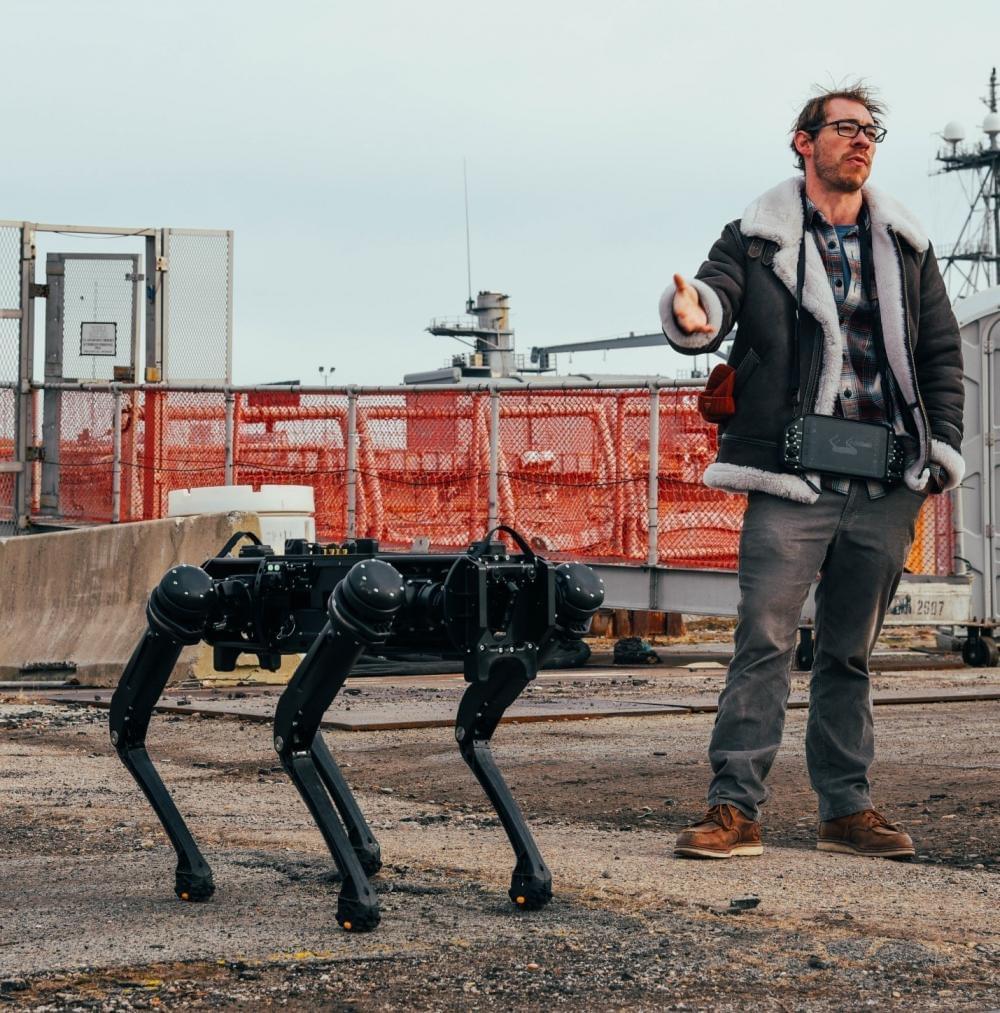
Sounds like a sci-fi movie right? But it’s not. Naval Surface Warfare Center, Philadelphia Division is testing laser-based sensors on robot dogs or drones as a way to perform battle damage assessment, repair, installation, and modernization – all remotely.
NSWCPD’s Advanced Data Acquisition Prototyping Technology Virtual Environments (ADAPT.VE) engineers and scientists are testing new applications for light detection and ranging (LiDAR) to build 3D ship models aboard the ‘mothballed’ fleet of decommissioned ships at the Philadelphia Navy Yard.


Comments are closed.