Menu

Blog

Archive for the ‘satellites’ category: Page 57

Sep 25, 2022

How drones, crypto, and satellites are changing the face of war / Thomas Frey & Trent Fowler

Posted by in categories: cryptocurrencies, drones, satellites

Russia’s war on Ukraine has turned a lot of assumptions about the fundamental nature and trajectory of how wars are fought, on its head.

For one thing, Ukraine’s strong defense has upended conventional wisdom about big powers being able to violate at will the sovereignty of little powers.

Continue reading “How drones, crypto, and satellites are changing the face of war / Thomas Frey & Trent Fowler” »

Sep 21, 2022

Solar flare, like SpaceX satellite crasher, disrupts comms

Posted by in categories: energy, satellites

A solar flare erupted from a departing sunspot on September 16, releasing a pulse of X-rays and extreme UV radiation which caused a shortwave radio blackout in Africa and the Middle East. Frequencies below 25 MHz were affected for up to an hour after the flare.

Solar flare strength is measured much like the Richter scale which measures earthquakes. Solar flares are classed A, B, C, M or X where each successive letter corresponds to a 10-fold increase in energy output. A-class solar flares are barely above background radiation emission from the sun.

Spaceweather.com reports that the September 16 solar flare, exploding out of sunspot AR3098, was an M8-class, meaning it was nearly an X-flare, the most powerful kind.

Sep 17, 2022

SpaceX rolls out “high-performance” satellite internet for residential users

Posted by in categories: business, internet, satellites

Back in February, SpaceX introduced a high-performance satellite internet solution that was specifically designed for businesses. The higher-tier kit is a step above the standard Starlink system, with its larger dish that features double the antenna capability to its faster internet speeds.

Inasmuch as the service was attractive, however, there was one issue: it costs a whopping $2,500 for the high-performance satellite internet system and a very premium $500 per month for the service itself. As per recent updates to the official Starlink website, a high-performance satellite internet kit is now available for residential customers as well, and it doesn’t even require a $500 monthly fee.

While residential customers who wish to acquire Starlink’s high-performance satellite internet kit would still be paying $2,500 for the hardware, they only need to pay the standard $110 per month for the service itself. Residential customers who opt in for a high-performance dish could then get more out of Starlink’s capabilities for the same monthly fee.

Sep 16, 2022

Rocket Lab celebrates 30th launch and 150th satellite sent to orbit

Posted by in categories: engineering, satellites

Today’s launch by Rocket Lab, “The Owl Spreads Its Wings,” was as unremarkable as a rocket going to orbit can be, but it also marked a few milestones for the growing space company: 30 launches and 150 satellites taken to space.

The company’s first trip to orbit was in January of 2018, technically Electron’s second test flight but the first successful delivery of a payload to space. That was after more than 10 years of design, engineering and manufacturing since the company was founded in 2006.

It then had an unbroken streak of 18 launches, but on its 20th there was an anomaly and it lost the payload and vehicle. But as founder and CEO Peter Beck told me shortly afterwards, “no more than seconds after we realized that we had an anomaly on our hands, the team was already working it.” And they were clear to fly a month later.

Sep 14, 2022

Prime Movers Lab Raises A $500 Million Early Growth Fund To Invest In Breakthrough Science

Posted by in categories: energy, food, satellites, science

The new fund will be focused on startups in energy, manufacturing, agriculture, healthcare, satellites and more.

Sep 13, 2022

Deep Learning Technology Predicts Accidents on The Road

Posted by in categories: mapping, robotics/AI, satellites, sustainability

Studies say that by combining historical accident data with road maps, satellite imagery, and GPS, a machine learning model is trained to create high-resolution crash maps, we might be getting ever so closer to safer roads. Technology has changed a lot over the years such as GPS systems that eliminated the need to memorize streets orally, sensors and cameras that warn us of objects that are close to our vehicles, and autonomous electric vehicles. However, the precautions we take on the road have largely remained the same. In most places, we still rely on traffic signs, mutual trust, and the hope that we’ll reach our destination safely.

With a view to finding solutions to the uncertainty underlying road accidents, researchers at the MIT Computer Science and Artificial Intelligence Laboratory have been working with the Qatari Center for Artificial Intelligence to develop a deep learning model that can predict high-resolution maps of accident risks. The model calculates the number of accidents predicted for a specific future time frame using past accident data, road maps, simulations and GPS traces. Thus, high-risk zones and future crashes can be identified using the map.

According to reports by homelandsecuritynewswire.com, maps of this type have been captured so far at much lower resolutions, resulting in a loss of vital information. Former attempts have relied mostly on hystorical crash data, whereas the research team has compiled a wide base of critical information, identifying high-risk areas by analyzing GPS signals that provide data on traffic density, speed, and direction, along with satellite imagery that provides data on road structures. They observed that highways, for example, are more hazardous than nearby residential roads, and intersections and exits to highways are even more dangerous than other highways.

Sep 12, 2022

SpaceX rocket launches the largest commercial satellite into orbit. It could also blind our view of the universe

Posted by in categories: mobile phones, satellites

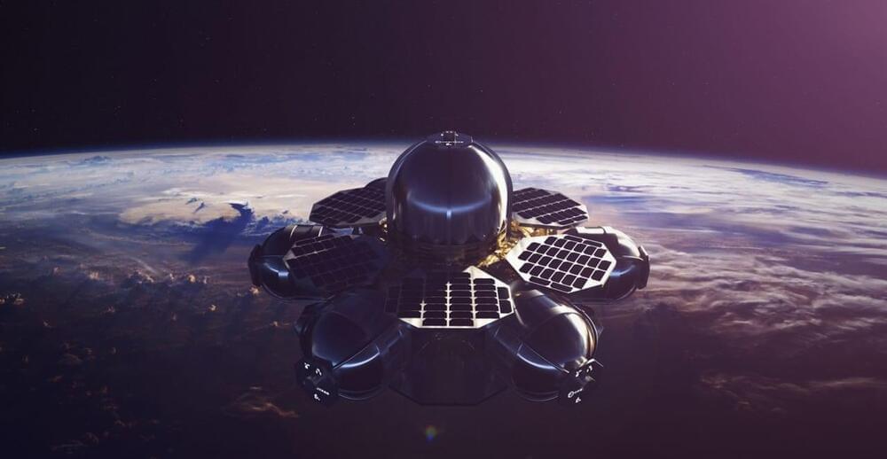
The BlueWalker 3 prototype satellite is extremely bright and could interfere with celestial data.

The brightest star in the sky may not be a star for much longer. It could be a colossal internet satellite featuring a giant antenna array covering an area of 689 square feet (64 square meters) for regular cellphones to access the internet from space.

Continue reading “SpaceX rocket launches the largest commercial satellite into orbit. It could also blind our view of the universe” »

Sep 10, 2022

Watch SpaceX launch the huge BlueWalker 3 satellite, Starlink fleet on rocket’s record-setting 14th flight tonight

Posted by in categories: mobile phones, satellites

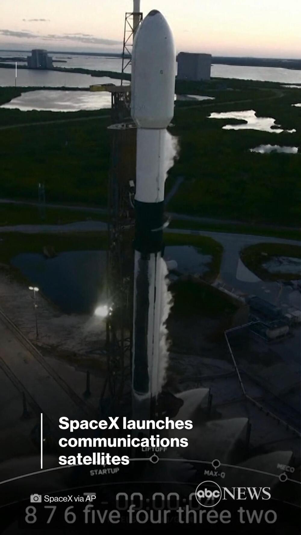
A SpaceX Falcon 9 rocket will fly for a record-breaking 14th time on Saturday night (Sept. 10), launching 34 of the company’s Starlink internet satellites and a huge direct-to-smartphone connectivity test spacecraft to orbit, and you can watch it live.

The two-stage Falcon 9, topped with the Starlinks and AST SpaceMobile’s Blue Walker 3 test satellite, is scheduled to lift off from NASA’s Kennedy Space Center (KSC) in Florida Saturday at 9:10 p.m. EDT (0110 GMT on Sept. 11). Watch it live here at Space.com, courtesy of SpaceX, or directly via the company (opens in new tab).

Sep 9, 2022

Elon Musk reveals SpaceX and Apple discussed Starlink support for iPhone 14

Posted by in categories: Elon Musk, mobile phones, satellites

Apple could become the first commercially available smartphone with a satellite in the U.S.

Just a day after Apple announced the iPhone 14’s emergency SOS via satellite feature, SpaceX chief executive officer Elon Musk revealed that SpaceX had talked with Apple Inc about using Starlink connectivity.

Continue reading “Elon Musk reveals SpaceX and Apple discussed Starlink support for iPhone 14” »

Sep 7, 2022

The iPhone 14 can connect to satellites for emergency SOS features

Posted by in categories: mobile phones, satellites

Probably the biggest new feature for the iPhone 14, 14 Plus and 14 Pro isn’t one you’ll use ever day, but you’ll be glad you have it if you need it. The new phones have a built-in satellite connection that people can use to send emergency SOS messages in places where there’s no available cellular signal.

First, your iPhone will help you orient your phone in the direction you need to point it to get the best signal. Once you have a connection, you can open up a message interface that lets you communicate with emergency service providers. Apple says that because of satellite connectivity limits, it’ll take much longer to send messages than you’re used to, so the feature includes some automatic questions it prompts you to answer, like “is anyone hurt?” It’ll have auto-populated answers that you can tap to respond. Apple is also compressing messages to a third of their normal size to make sending them a little quicker.

Apple say that once the message is sent to the satellite, it then gets routed to emergency response centers; if those centers are only set up for voice calls, they’ll first be passed to a response center that’ll then get in touch with emergency response.

Page 57 of 187First5455565758596061Last