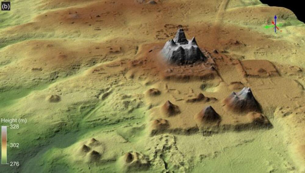
A previously unidentified Maya civilization made up of 964 interconnected settlements has been discovered in northern Guatemala. Dated to the Preclassic Maya period – which lasted from around 1,000 BCE until 150 CE – the scattered sites cover an area of approximately 1,685 square kilometers (650 square miles) and are linked by 177 kilometers (110 miles) of ancient roads.
Researchers spotted the network of settlements using LiDAR, a detection system that bounces laser signals off surfaces in order to reveal hidden features and structures. While flying over Guatemala’s Mirador-Calakmul Karst Basin (MCKB), the team utilized the technology in order to penetrate the thick jungle canopy and expose the ancient constructions lurking beneath.
“The LiDAR survey revealed an extraordinary density and distribution of Maya sites concentrated in the MCKB, many of them linked directly or indirectly by a vast causeway network,” write the researchers in a new study. In total, they found 775 sites within the MCKB itself, with a further 189 located in the surrounding karstic ridge.


